
Drone Surveying, Photogrammetry, and More
Simple solutions tailored to fit complex workflows
Unifli is designed to work with drone-captured images and allows users to create detailed 3D models of buildings, landscapes, and other structures. The software uses advanced algorithms and computer vision techniques to analyze the photographs and extract detailed information about the object or environment being captured.
What We Offer

INDUSTRY-LEADING UNMANNED AERIAL SOLUTIONS
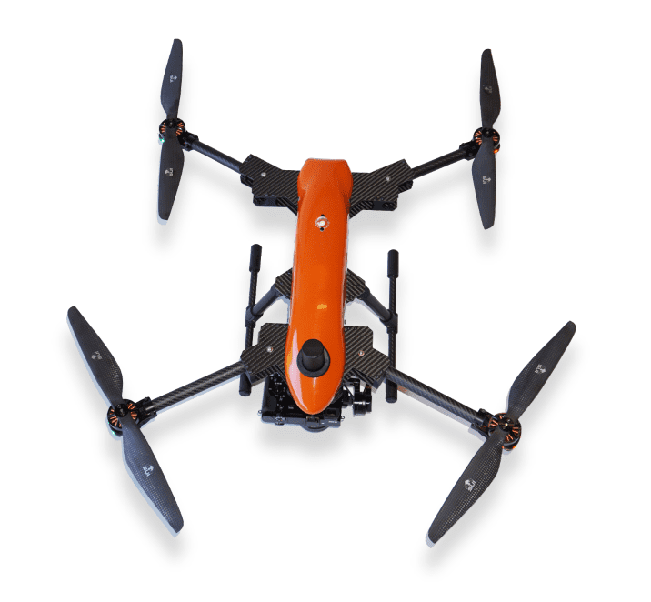
Although we do not directly produce UAV’s, we can tailor your UAS workflow to meet your current and future needs. We promote survey grade PPK and RTK solutions, integrated ground control stations, and progressive mapping and data acquisition solutions.
We also offer comprehensive consulting for off-the-shelf solutions for more economical approaches.

DRONE DATA PROCESSING FOR UNLIMITED POSSIBILITIES
Upload, exploit, and share incredibly accurate 3D data straight from your browser with UNiFLi.
Our intuitive interface allows a simple process to upload photos and ground control points. Cloud based rapid results and full download capabilities. Fees are based on data usage and not monthly fees (Only one additional low annual maintenance fee).

PHOTOGRAMMETRY MAPPING – SIMPLIFIED
We offer value-based mapping services that simplify the CAD mapping of visible field features, enabling you to streamline your workflow. With our unprecedentedly predictable turnaround time, you can take control of delivery timelines and stay on top of your project schedule. While capturing drone data is just one piece of the puzzle, our team goes the extra mile to provide you with professional CAD drafting for the land and sites you have surveyed. Trust us to make the process easy and hassle-free for you.

UniFli AS A SERVICE
RELAX AND LET US DO THE HEAVY LIFTING
If you’re in California, Arizona or Nevada, use UniFli as a service to complete your aerial mapping needs. One of the key advantages of using UniFli for your aerial mapping needs is our commitment to quality and accuracy. All of our services are performed under the direct supervision of a Licensed Land Surveyor, ensuring that you receive the highest level of accuracy and precision possible. We can tailor aerial field services to be as simple as setting flight control and procuring orthophotography, to actual full scale boundary and monument recovery to include almost any scope imaginable. All while under the direct supervision of a Licensed Land Surveyor.
Cross Platform Compatibility
With your UAVs, the sky's the limit
At UniFli, we offer comprehensive drone data management services to help businesses extract maximum value from their aerial data. Use your fleet of unmanned aerial systems (UAS) to capture high-quality data and images, and then use our processing software to convert that data into real business value.
One of the key advantages of working with UniFli is our ability to tailor our services to meet your specific needs. Our processing software is compatible with most industry standard flying arsenal, so we can work with the equipment you already have to ensure the most cost-effective and efficient solution for your business.
Once you capture the data, our processing software uses advanced algorithms to turn that data into actionable insights. We can generate detailed maps, models, and 3D visualizations that can be used to identify patterns, track changes over time, and inform decision-making. This rich data can be used to produce real results and drive business value.
We understand that the true value of aerial data lies in its ability to inform and optimize business processes. That’s why we focus on translating data into actionable insights that can be used to improve operations, reduce costs, and drive revenue growth.
So if you’re looking for a partner to help you extract maximum value from your aerial data, contact us today. Our comprehensive drone data management services can help you achieve your goals and take your business to the next level.
Data
Drone file Processing systems intelligent data analytics, integrated for efficiency
Infinitely improved data processing is now areality, thank to our tightly controlled data analytics and management system.Elevate your business to new height by effectively processing your data for enhanced productivity.
Here's a look at how our drone File Processing Systems can make all the difference.

Capture, store, and curate drone management raw data with our intuitively designed Cloud Drone File Management Systems.

Create georeferenced, orthorectified maps that can be viewed, processed, and shared on multiple devices and platforms.

- Generate reports from drone acquired data in multiple formats through a single click.
Choose from orthomosaics that accurately map out layouts and plots, elevation extractions (DEMs) that visualize topographic information, 3D elevation models and point clouds. We are constantly developing and adding features.
Drafting and Mapping
CAD Conversion, draft and display data, just the way you want it
Why take the trouble of consulting third parties for your CAD requirement, when you can get end-to-end solutions under one roof?
At UNIFLI, we anticipate your every single move ahead of time. That’s precisely why we offer CAD drafting and conversion solutions for your orthophotos, so you can process your drone data in any format you need…on your schedule!
Our CAD Conversion Service is uniquely tailored to add value to your project.

Experience instant data analysis and easier topographic inspections, thanks to our highly efficient CAD drafting and conversion experts.

Get used to lightning fast turnarounds on all your CAD work, with our expert technicians and analysts working ’round the clock from key locations around the globe.
Discover our super smooth workflow as you receive in-depth data on every aspect of the site in real time.
UniFli as A Service
Utilize our crews as one of your own
Surveying is the core of what we do. With over 25 years of licensed experience, we can collaborate on almost any project imaginable that can benefit from aerial mapping and technology. We use the most current UAS fleet combing rotary and fixed wing, all with survey grade accuracy. If you have a project within California, Arizona or Nevada, we have a crew that can get the job done. Although all projects have their own technical challenges, we can adapt to these challenges. Our crews are flexible and can tie into your control points, or we can set control for you. Each project starts with a detailed scope of services to avoid costly mistakes. All projects are overseen by a licensed Surveyor.
Our FULL Service Aerial and Survey service tailored to your specific needs
We invite you to collaborate with our team of experienced project managers to customize a plan that meets both your specific requirements and budgetary constraints. Together, we can tailor a solution that perfectly aligns with your goals and resources.
You can expect a professional and prompt response from us, especially when it comes to meeting time-critical deadlines. With our team’s expertise and efficient approach, we are committed to delivering timely and reliable results, even under tight time constraints..
By integrating our deliverables and data into your existing workflow, you can experience exceptional efficiency gains. We understand the importance of seamless collaboration and strive to ensure that our output integrates smoothly with your established processes. Let us help you optimize your workflow and achieve maximum productivity.